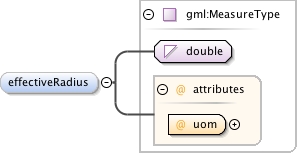
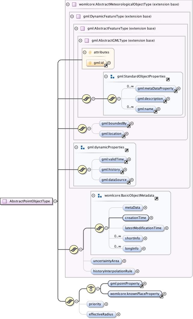
Abstract parent type for all Met Objects located at a singlegeosaptial point or point-like location (airport, city, observation station,..).Moving point objects can be modeled using DynamicMeteorologicalObject with multiplepoint objects as collection content.Display priority levels of point-likeobjects can be given with displayPriority property: The rendering engine shouldstart dropping the objects out in descending priority order if it cannot properlyposition all the point objects into the given display size.The "effectiveRadius" element may be used to define the circular area aroundthe single geospatial point that this object describes.
Database handle for the object. It is of XML type ID, so is constrained to be unique in the XML document within which it occurs. An external identifier for the object in the form of a URI may be constructed using standard XML and XPointer methods. This is done by concatenating the URI for the document, a fragment separator, and the value of the id attribute.
Source
<complexType name="AbstractPointObjectType" abstract="true"><annotation><documentation>Abstract parent type for all Met Objects located at a single geosaptial point or point-like location (airport, city, observation station,..). Moving point objects can be modeled using DynamicMeteorologicalObject with multiple point objects as collection content. Display priority levels of point-like objects can be given with displayPriority property: The rendering engine should start dropping the objects out in descending priority order if it cannot properly position all the point objects into the given display size. The "effectiveRadius" element may be used to define the circular area around the single geospatial point that this object describes.</documentation></annotation><complexContent><extension base="womlcore:AbstractMeteorologicalObjectType"><sequence><choice><element ref="gml:pointProperty" minOccurs="1" maxOccurs="1"/><element ref="womlcore:knownPlaceProperty" minOccurs="1" maxOccurs="1"/></choice><element name="priority" type="int" minOccurs="0" maxOccurs="1"/><element name="effectiveRadius" type="gml:MeasureType" minOccurs="0" maxOccurs="1"/></sequence></extension></complexContent></complexType>