Ordered list of labels for all the axes of this CRS. The gml:axisAbbrev value should be used for these axis
labels, after spaces and forbiddden characters are removed. When the srsName attribute is included, this attribute is
optional.
When the srsName attribute is omitted, this attribute shall also be omitted.
This attribute is included for backward compatibility with GML 2 and is deprecated with GML 3.
This identifer is superceded by "gml:id" inherited from AbstractGMLType. The attribute "gid" should not be used
anymore and may be deleted in future versions of GML without further notice.
Database handle for the object. It is of XML type ID, so is constrained to be unique in the XML document within which it
occurs. An external identifier for the object in the form of a URI may be constructed using standard XML and XPointer methods.
This is done by concatenating the URI for the document, a fragment separator, and the value of the id attribute.
The "srsDimension" is the length of coordinate sequence (the number of entries in the list). This dimension is
specified by the coordinate reference system. When the srsName attribute is omitted, this attribute shall be omitted.
In general this reference points to a CRS instance of gml:CoordinateReferenceSystemType
(see coordinateReferenceSystems.xsd). For well known references it is not required that the CRS description exists at
the
location the URI points to. If no srsName attribute is given, the CRS must be specified as part of the larger context
this
geometry element is part of, e.g. a geometric element like point, curve, etc. It is expected that this attribute will
be specified
at the direct position level only in rare cases.
Ordered list of unit of measure (uom) labels for all the axes of this CRS. The value of the string in the
gml:catalogSymbol should be used for this uom labels, after spaces and forbiddden characters are removed. When the
axisLabels attribute is included, this attribute shall also be included. When the axisLabels attribute is omitted, this
attribute
shall also be omitted.
Source
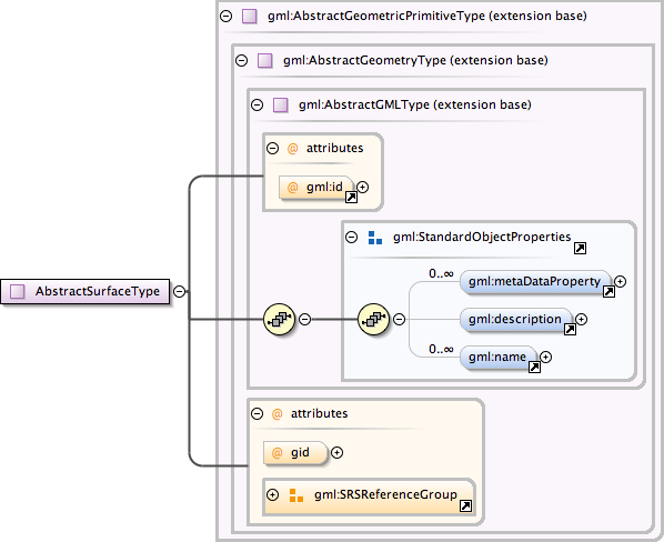
<complexType name="AbstractSurfaceType"><annotation><documentation>An abstraction of a surface to support the different levels of complexity. A surface is always a continuous region of a plane.</documentation></annotation><complexContent><extension base="gml:AbstractGeometricPrimitiveType"/></complexContent></complexType>